Thank you for visiting SNEWPapers!
Sign up free
The Enquirer
Richmond, Henrico County, Virginia
What is this article about?
The Secretary of the Treasury reported to Congress on a coastal survey between Cape Hatteras and Cape Fear, producing a more accurate chart of shoals and soundings. Lighthouses deemed impracticable due to shifting sands; buoys suggested but permanence doubtful.
Clipping
OCR Quality
Full Text
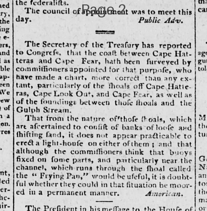
The Secretary of the Treasury has reported to Congress, that the coast between Cape Hatteras and Cape Fear, hath been surveyed by commissioners appointed for that purpose, who have made a chart, more correct than any extant, particularly of the Shoals off Cape Hatteras, Cape Look Out, and Cape Fear, as well as of the soundings between those shoals and the Gulf Stream.
That from the nature of those shoals, which are ascertained to consist of banks of loose and shifting sand, it does not appear practicable to erect a light-house on either of them; and that although the commissioners think that buoys fixed on some parts, and particularly near the channel, which runs through the shoal called the "Frying Pan," would be useful, it is doubtful whether they could in that situation be moored in a permanent manner.
What sub-type of article is it?
What keywords are associated?
What entities or persons were involved?
Where did it happen?
Domestic News Details
Primary Location
Coast Between Cape Hatteras And Cape Fear
Key Persons
Outcome
lighthouses not practicable due to shifting sands; buoys potentially useful but doubtful for permanent mooring.
Event Details
The coast was surveyed by appointed commissioners, resulting in a more correct chart of shoals off Cape Hatteras, Cape Look Out, and Cape Fear, and soundings between those shoals and the Gulf Stream. Shoals consist of loose and shifting sand banks.