Thank you for visiting SNEWPapers!
Sign up free
Literary
January 20, 1932
The Bismarck Tribune
Bismarck, Mandan, Burleigh County, Morton County, North Dakota
What is this article about?
Article by Charles Fitzhugh Tolman explains U.S. Weather Bureau's Weekly Weather and Crop Bulletin, detailing weather summaries, crop effects, maps of temperature and rainfall departures, preparation process, and additional regional publications for farmers in cotton and grain areas.
Clipping
OCR Quality
90%
Excellent
Full Text
Speaking of the Weather
by Charles Fitzhugh Tolman
of the U.S. Weather Bureau
Maps, Charts, Bulletins, Reports All Figure in Weather Bureau Work—Many are Vital to Farmers
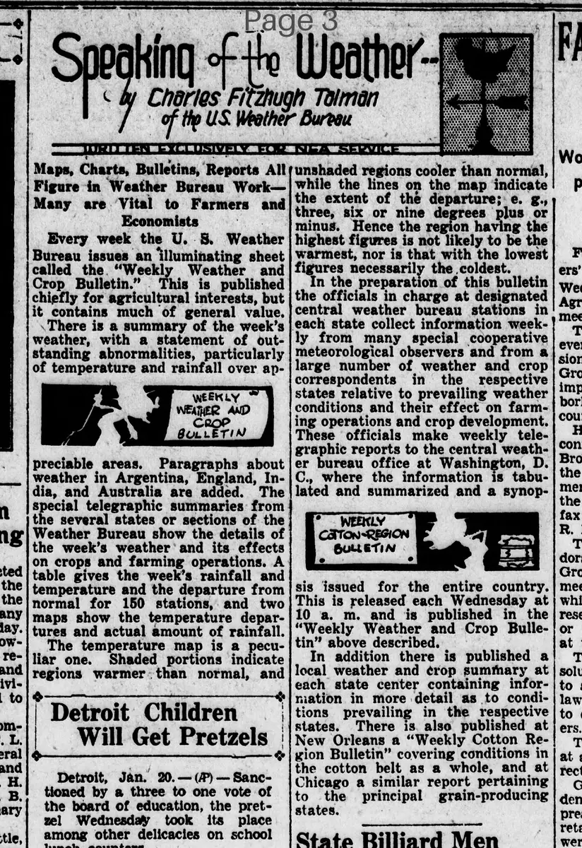
Every week the U.S. Weather Bureau issues an illuminating sheet called the "Weekly Weather and Crop Bulletin." This is published chiefly for agricultural interests, but it contains much of general value. There is a summary of the week's weather, with a statement of outstanding abnormalities, particularly of temperature and rainfall over appreciable areas. Paragraphs about weather in Argentina, England, India, and Australia are added. The special telegraphic summaries from the several states or sections of the Weather Bureau show the details of the week's weather and its effects on crops and farming operations. A table gives the week's rainfall and temperature and the departure from normal for 150 stations, and two maps show the temperature departures and actual amount of rainfall.
The temperature map is a peculiar one. Shaded portions indicate regions warmer than normal, and unshaded regions cooler than normal while the lines on the map indicate the extent of the departure; e.g., three, six or nine degrees plus or minus. Hence the region having the highest figures is not likely to be the warmest, nor is that with the lowest figures necessarily the coldest.
In the preparation of this bulletin the officials in charge at designated central weather bureau stations in each state collect information weekly from many special cooperative meteorological observers and from a large number of weather and crop correspondents in the respective states relative to prevailing weather conditions and their effect on farming operations and crop development. These officials make weekly telegraphic reports to the central weather bureau office at Washington, D.C., where the information is tabulated and summarized and a synopsis issued for the entire country. This is released each Wednesday at 10 a.m. and is published in the "Weekly Weather and Crop Bulletin" above described.
In addition there is published a local weather and crop summary at each state center containing information in more detail as to conditions prevailing in the respective states. There is also published at New Orleans a "Weekly Cotton Region Bulletin" covering conditions in the cotton belt as a whole, and at Chicago a similar report pertaining to the principal grain-producing states.
by Charles Fitzhugh Tolman
of the U.S. Weather Bureau
Maps, Charts, Bulletins, Reports All Figure in Weather Bureau Work—Many are Vital to Farmers
Every week the U.S. Weather Bureau issues an illuminating sheet called the "Weekly Weather and Crop Bulletin." This is published chiefly for agricultural interests, but it contains much of general value. There is a summary of the week's weather, with a statement of outstanding abnormalities, particularly of temperature and rainfall over appreciable areas. Paragraphs about weather in Argentina, England, India, and Australia are added. The special telegraphic summaries from the several states or sections of the Weather Bureau show the details of the week's weather and its effects on crops and farming operations. A table gives the week's rainfall and temperature and the departure from normal for 150 stations, and two maps show the temperature departures and actual amount of rainfall.
The temperature map is a peculiar one. Shaded portions indicate regions warmer than normal, and unshaded regions cooler than normal while the lines on the map indicate the extent of the departure; e.g., three, six or nine degrees plus or minus. Hence the region having the highest figures is not likely to be the warmest, nor is that with the lowest figures necessarily the coldest.
In the preparation of this bulletin the officials in charge at designated central weather bureau stations in each state collect information weekly from many special cooperative meteorological observers and from a large number of weather and crop correspondents in the respective states relative to prevailing weather conditions and their effect on farming operations and crop development. These officials make weekly telegraphic reports to the central weather bureau office at Washington, D.C., where the information is tabulated and summarized and a synopsis issued for the entire country. This is released each Wednesday at 10 a.m. and is published in the "Weekly Weather and Crop Bulletin" above described.
In addition there is published a local weather and crop summary at each state center containing information in more detail as to conditions prevailing in the respective states. There is also published at New Orleans a "Weekly Cotton Region Bulletin" covering conditions in the cotton belt as a whole, and at Chicago a similar report pertaining to the principal grain-producing states.
What sub-type of article is it?
Essay
What themes does it cover?
Agriculture Rural
Nature
What keywords are associated?
Weather Bureau
Crop Bulletin
Temperature Map
Rainfall Data
Farming Operations
Agricultural Reports
Cotton Region
Grain States
What entities or persons were involved?
By Charles Fitzhugh Tolman Of The U.S. Weather Bureau
Literary Details
Title
Speaking Of The Weather
Author
By Charles Fitzhugh Tolman Of The U.S. Weather Bureau
Subject
Maps, Charts, Bulletins, Reports All Figure In Weather Bureau Work—Many Are Vital To Farmers
Key Lines
Every Week The U.S. Weather Bureau Issues An Illuminating Sheet Called The "Weekly Weather And Crop Bulletin."
The Temperature Map Is A Peculiar One. Shaded Portions Indicate Regions Warmer Than Normal, And Unshaded Regions Cooler Than Normal While The Lines On The Map Indicate The Extent Of The Departure; E.G., Three, Six Or Nine Degrees Plus Or Minus.