Thank you for visiting SNEWPapers!
Sign up free
The Cecil Whig
Elkton, Cecil County, Maryland
What is this article about?
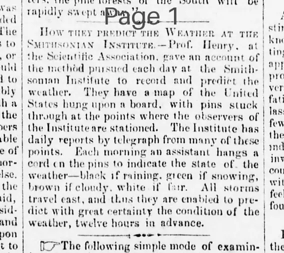
Prof. Henry at the Scientific Association explains the Smithsonian Institute's method for recording and predicting weather using a U.S. map with colored cords on pins to track storm movements eastward, allowing 12-hour forecasts.
Clipping
OCR Quality
Full Text
What sub-type of article is it?
What keywords are associated?
What entities or persons were involved?
Where did it happen?
Domestic News Details
Primary Location
Smithsonian Institute
Key Persons
Event Details
Prof. Henry gave an account of the method pursued each day at the Smithsonian Institute to record and predict the weather. They have a map of the United States hung upon a board, with pins stuck through at the points where the observers of the Institute are stationed. The Institute has daily reports by telegraph from many of these points. Each morning an assistant hangs a cord on the pins to indicate the state of the weather--black if raining, green if snowing, brown if cloudy, white if fair. All storms travel east, and thus they are enabled to predict with great certainty the condition of the weather, twelve hours in advance.