Thank you for visiting SNEWPapers!
Sign up free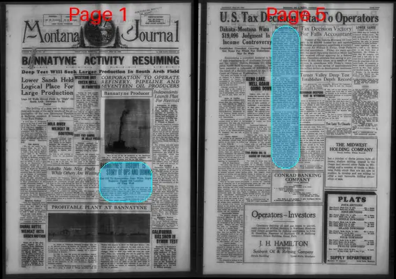
Montana Oil And Mining Journal
Great Falls, Billings, Cascade County, Yellowstone County, Montana
What is this article about?
History of Bannatyne oil field in Montana, discovered in 1926 by Genou Oil Company through geologist Ralph Arnold's work near Teton River. Initial promise faded after 1929 crash; field shut down until recent revival. Exploration reduced productive area; unique oil quality differences noted.
Merged-components note: Merged continuation of Bannatyne history story
Clippings
1 of 2
OCR Quality
Full Text
Got Off To Inauspicious Start When Eager Reporter Tipped Off Location Of First Well
Bannatyne oil field, which this week steps back into the producing column, was the one field in Montana that was hit hard by the depression and it has been virtually shut down ever since the stock market crash of 1929.
Bannatyne was discovered in the fall of 1926 by Genou Oil Company when Ralph Arnold undertook his five-well program in the Sweetgrass Arch, E. Byers Emrick Company.
(Continued on Page Five)
Bannatyne History (Continued from Page One)
Emrick undertook to find structure in the vicinity of Genou where Guy Craig, veteran operator, felt confident an oil field would be found. Emrick "turned down" the Genou area and decided, with Arnold, to make careful examination of exposures along the Teton river.
He followed the river to a point near the famous old Bannatyne farm, where he found reversal: a point near the strata starts dipping westward.
He began intensive work in this region and in the face of negative reports by practically all other geologists, spotted a test well.
Guy Craig and associates had organized Genou Oil & Gas Company, expecting that they would drill at Genou, but took over the newly found structure, which was called Bannatyne.
An enthusiastic newspaper man in Great Falls "scooped" the world on the Bannatyne situation and caused consternation by publishing the location of the well before the Arnold organization could get the leases in shape. A group of royalty buyers came to the rescue and assisted in financing the purchase of approximately 2,000 acres of land in fee simple on and around the location selected. Genou Oil & Gas company drilled the well and found oil on July 1, 1926. The field was brought into commercial production a few weeks later.
Expected to be another Kevin-Sunburst, Bannatyne field was prospected over an area of 100,000 acres but dry holes reduced its probable producing area to little more than three sections.
It has an 80-foot sand which is 60 per cent saturated. The producing sand, at around 1500 feet, is known as the Emrick sand. It is the principal sand of the Ellis formation. Subsequent drilling in the lower Sweetgrass Arch has revealed the presence of Quadrant formation in this region so there is some doubt whether any well in Bannatyne has been drilled to the Madison contact, although wells north of the field picked up the water strata generally associated with the Madison lime.
An unexplained phenomena of Bannatyne field is the fact that wells on the north slope produce a different quality of oil than the wells on the south slope. It is believed that there is a fault running through the structure which has interrupted migration. Wells 20 feet down the
What sub-type of article is it?
What themes does it cover?
What keywords are associated?
What entities or persons were involved?
Where did it happen?
Story Details
Key Persons
Location
Bannatyne Oil Field, Montana, Near Teton River, Sweetgrass Arch
Event Date
Fall Of 1926, July 1, 1926, 1929
Story Details
Geologist Emrick, with Arnold, discovered oil structure near Bannatyne farm despite opposition; reporter leaked location, but financing secured for drilling. First well struck oil July 1, 1926; field produced commercially but shrank due to dry holes and was hit hard by 1929 depression, shutting down until recent revival. Unique oil qualities on slopes suggest fault.