Thank you for visiting SNEWPapers!
Sign up free
Montana Oil And Mining Journal
Great Falls, Billings, Cascade County, Yellowstone County, Montana
What is this article about?
In Montana's oil fields, a daring wildcat well is drilled on a precarious cliff shelf in the Sweetgrass Arch near Kevin, testing for high-gravity crude in a geologically promising high. Led by C. N. Wrighter's High Gravity Producers, the site overlooks the Kevin-Sunburst field and draws widespread attention.
Merged-components note: Merged continuation of the wildcat well on Sweetgrass Arch story, as the second UUID picks up directly from the first with spatial and topical continuity.
Clipping
OCR Quality
Full Text
Perches On High
Wall Of
West
Sweetgrass
Arch
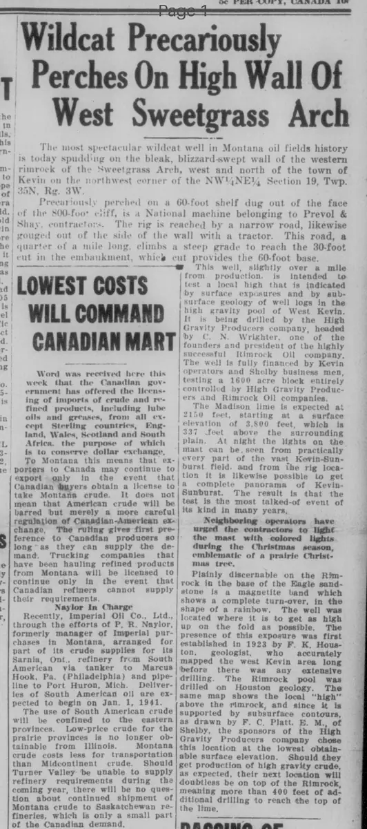
The most spectacular wildcat well in Montana oil fields history is today spudding on the bleak, blizzard-swept wall of the western rimrock of the Sweetgrass Arch, west and north of the town of Kevin on the northwest corner of the NW1/4 NE1/4 Section 19, Twp. 35N. Rg. 3W.
Precariously perched on a 60-foot shelf dug out of the face of the 500-foot cliff, is a National machine belonging to Prevol & Shay, contractors. The rig is reached by a narrow road, likewise gouged out of the side of the wall with a tractor. This road, a quarter of a mile long, climbs a steep grade to reach the 30-foot cut in the embankment, which cut provides the 60-foot base.
This well, slightly over a mile from production, is intended to test a local high that is indicated by surface exposures and by subsurface geology of well logs in the high gravity pool of West Kevin.
It is being drilled by the High Gravity Producers company, headed by C. N. Wrighter, one of the founders and president of the highly successful Rimrock Oil company.
The well is fully financed by Kevin operators and Shelby business men, testing a 1600 acre block entirely controlled by High Gravity Producers and Rimrock Oil companies.
The Madison lime is expected at 2150 feet, starting at a surface elevation of 3,500 feet, which is 337 feet above the surrounding plain. At night the lights on the mast can be seen from practically every part of the vast Kevin-Sunburst field, and from the rig location it is likewise possible to get a complete panorama of Kevin-Sunburst. The result is that the test is the most talked-of event of its kind in many years.
Neighboring operators have urged the contractors to light the mast with colored lights during the Christmas season, emblematic of a prairie Christmas tree.
Plainly discernable on the Rimrock in the base of the Eagle sandstone is a magnetite band which shows a complete turn-over, in the shape of a rainbow. The well was located where it is to get as high up on the fold as possible. The presence of this exposure was first established in 1923 by F. K. Houston, geologist, who accurately mapped the west Kevin area long before there was any extensive drilling. The Rimrock pool was drilled on Houston geology.
The same map shows the local "high" above the rimrock, and since it is supported by subsurface contours, as drawn by F. C. Platt, E. M., of Shelby, the sponsors of the High Gravity Producers company chose this location at the lowest obtainable surface elevation. Should they get production of high gravity crude, as expected, their next location will doubtless be on top of the Rimrock, meaning more than 400 feet of additional drilling to reach the top of the lime.
What sub-type of article is it?
What themes does it cover?
What keywords are associated?
What entities or persons were involved?
Where did it happen?
Story Details
Key Persons
Location
Western Rimrock Of The Sweetgrass Arch, West And North Of Kevin, Montana, Nw1/4 Ne1/4 Section 19, Twp. 35n. Rg. 3w.
Story Details
A spectacular wildcat oil well is spudding on a precarious 60-foot shelf dug into a 500-foot cliff in the Sweetgrass Arch, testing a local high near the West Kevin pool. Drilled by High Gravity Producers, led by C. N. Wrighter, the site was chosen based on geology by F. K. Houston and F. C. Platt, expecting Madison lime at 2150 feet.